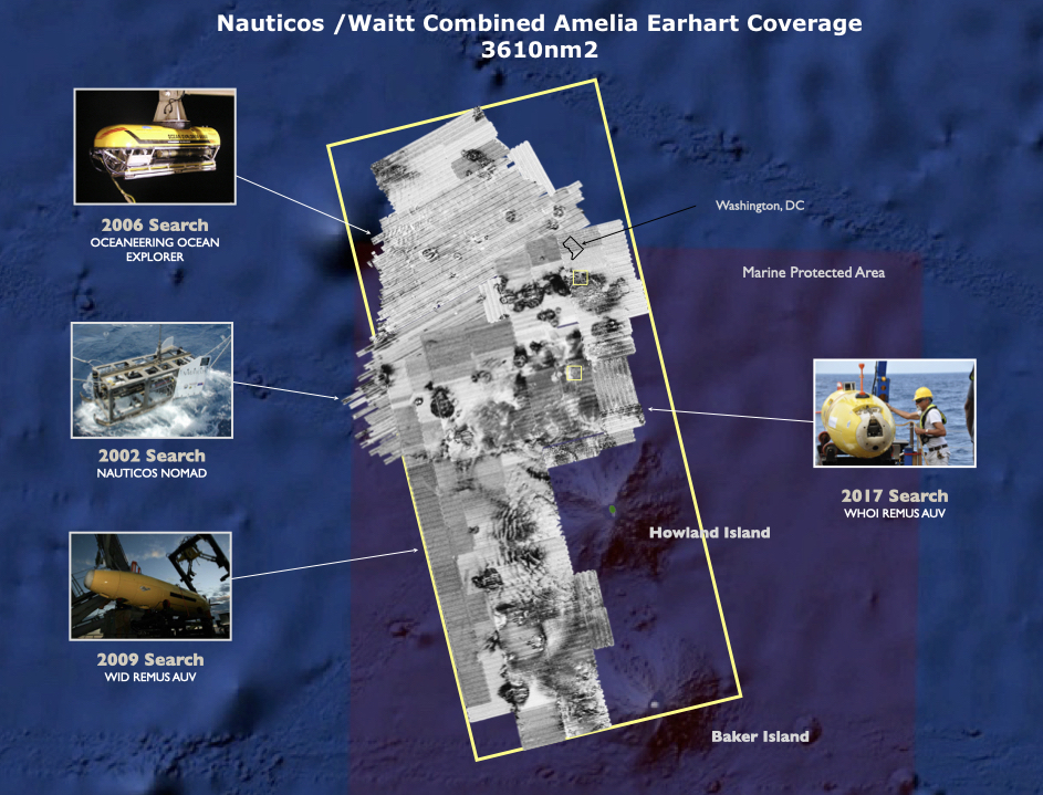
Nauticos has surveyed 1860nm2 across 3 expeditions in 2002, 2006, and 2017. Combined with the Waitt Institute’s search in 2009, 3610nm2 have previously been surveyed without locating the aircraft. This is an area close to the size of Connecticut.
The sonar target DSV has detected, appears to be consistent with the sonar signature of an airplane, however, long range sonar images have historically proven to be deceiving, especially in areas with geological formations.
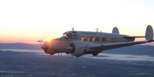
Yes, the sonar target appears to have a fuselage, wings, and a tail, but…it appears to have swept wings, the relative dimensions do not match the Electra, and there is a lack of engine nacelles. Those characteristics are not consistent with a Lockheed Electra 10E.
All airplane “like” targets in the vicinity of Howland Island have the potential to be Amelia’s Electra and should be positively identified.
All credible fuel endurance studies indicate she ran out of fuel around the time of her last transmission at 08:43. One hour after she reportedly radioed “½ hour fuel remaining.”
Nauticos historic radio testing and analysis has determined that she was just outside visual range of the Coast Guard cutter Itasca positioned at Howland Island at 08:00.
From the published materials, it appears that the target DSV located is in an area referred to as the “Dateline Theory.” That area is significantly west of Howland Island, 46-86 nm
Nauticos historic radio testing and analysis has determined that there is little chance that Amelia ditched her aircraft in that area. It would be difficult for her to be significantly west of her 8:00 location when she stated that she was flying north and south (157°/337°) in her 8:43 transmission.
Nauticos believes that if DSV’s target is in fact Amelia’s Lockheed Electra, then the aircraft ended up on the bottom at that location because it floated for an extended period after ditching into the ocean which is unlikely.
DSV’s release of this information will not impact Nauticos / SeaWord plans to launch an expedition to survey newly defined high probability search areas in the near future. Tax deductible donations to support future operations can be made to the SeaWord Foundation www.seaword.org.


